Most Popular
-
1
A decade lost: Sewol survivors on life after tragedy
-
2
Opposition victory upends ruling party's plans

-
3
Why don’t trainee doctors, medical professors see eye to eye?

-
4
Taking risk or targeting global fans? Netflix pushes ahead with 'Goodbye Earth' release

-
5
World reactions to Iran strikes on Israel


-
6
S. Korea to extend fuel tax cut through June amid Middle East tensions

-
7
Yoon flounders after election defeat

-
8
US confirms $6.4 billion chip subsidy for Samsung
-
9
Israel says Iran launched more than 300 drones and missiles, 99% of which were intercepted
-
10
[KH Explains] How should Korea adjust its trade defenses against Chinese EVs?
![[KH Explains] How should Korea adjust its trade defenses against Chinese EVs?](//res.heraldm.com/phpwas/restmb_idxmake.php?idx=644&simg=/content/image/2024/04/15/20240415050562_0.jpg&u=20240415144419)


![[KH Explains] How should Korea adjust its trade defenses against Chinese EVs?](http://res.heraldm.com/phpwas/restmb_idxmake.php?idx=644&simg=/content/image/2024/04/15/20240415050562_0.jpg&u=20240415144419)

Unusual rainband behind record downpour
South Korea may experience the third rainband in before autumn
By Shim Woo-hyunPublished : Aug. 9, 2022 - 17:43
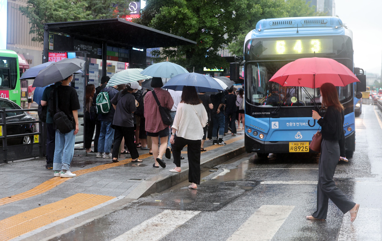
Monday’s record-breaking downpour was caused by an unusual rainband formation over the Korean Peninsula, experts say, with more rain on the way.
Every year, South Korea suffers heavy rainfall in the period between July and August, during which almost two thirds of annual rainfall occurs. A rainband generally comes between June and July, while another one may occur in late August or early September. It is rather unusual for the second rainband to come in early August, particularly a stronger one than the first.
Experts said the latest rainband was unusual, as it was formed differently from those usually created during summertime.
It is widely known that a rainband in the summer here is usually created by colder and drier air from the Sea of Okhotsk to the north of Japan and warmer meeting moist and warmer air masses sent by the Northwestern Pacific High -- a circulation of air caused by high pressure over the northwestern Pacific Ocean.
However, the latest rainband, which is expected to stay above the Korean Peninsula for about a week, was formed due to an encounter between colder and drier air conditions to the northwest -- including air from the Tibetan Plateau -- and moist tropical air masses pushed toward the peninsula the Northwestern Pacific High.
Another difference was that a stationary front has been created in the Sea of Okhotsk, which is preventing the rainband from passing along.
The encounter between the different air conditions was stronger as well, which made the rainband not only stretch longer from west to east yet also become narrower than before. This narrower rainband was responsible for the extremely focused downpour in a small region, according to the Korea Meteorological Administration.
When the greater Seoul area suffered from unprecedented rainfall last night, there was no precipitation in southern regions of the country, and rain was much heavier in some parts of Seoul than others.
The country’s weather agency has speculated that intense downpour on Monday was partly due to more water vapor moving to from low- to mid-latitudes. The reason why the water vapor moved, however, is currently unknown.
An official from the KMA said that the concentration of water vapor in the mid-latitudes “requires an analysis.” The official added that the KMA currently expects that the clockwise movement of the Northwestern Pacific High transported moist tropical air masses from the south, enhancing local rainfall.
The rainband is expected to stay for a little longer, as its movement is currently blocked by a high-pressure stationary front created in the Sea of Okhotsk. The high-pressure system was previously formed after the recent storms, Songda and Trases, provided moisture in the northern region.
Rainfall in the greater Seoul area and the upper part of the country is expected to continue until the high-pressure system in the Sea of Okhotsk disappears, according to the weather agency.
Before early next week, the rainband will move north and south, bringing heavy rain to different parts of the country.
There is a possibility that a third rainband will arrive toward the end of the summer season.
According to Woo Jin-kyu from the weather agency, the country could experience three rainbands this year given that the country sometimes receives a rainband just before the fall season.
(ws@heraldcorp.com)